|
Map Index
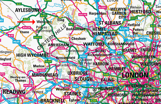
Map showing Wendover near Aylesbury by the
Chiltern Hills and London
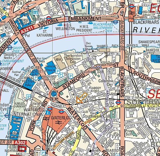
Map showing John / Alaska
Street. Waterloo, London. The Moore family
home 1840 - 1876
It is a very small road where the arrow is pointing and the
letters ST are. The dark black line is the railway track that
crosses the road on a bridge.
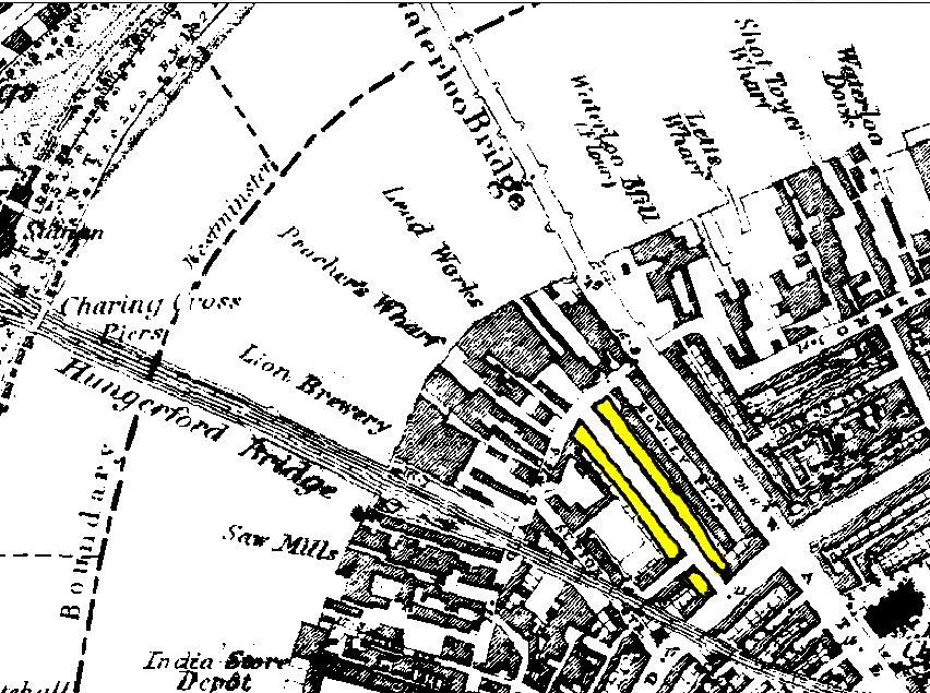
The next two maps show the location of 11 Tennison
Street, York Road. Waterloo, London, the Moore family
home in 1876. This is an 1886 map of London and shows the
location of where
Tennison Street used to be. It ran parallel with Waterloo Road.
It has now been demolished.
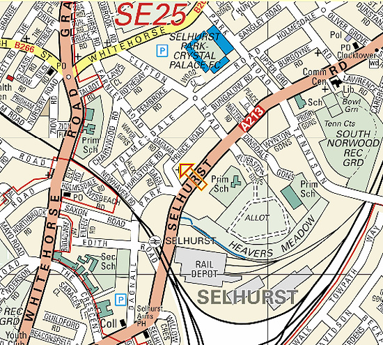
Map showing 233 Dagmar Road,
Norwod, London SE25. The Moore family
home in 1881
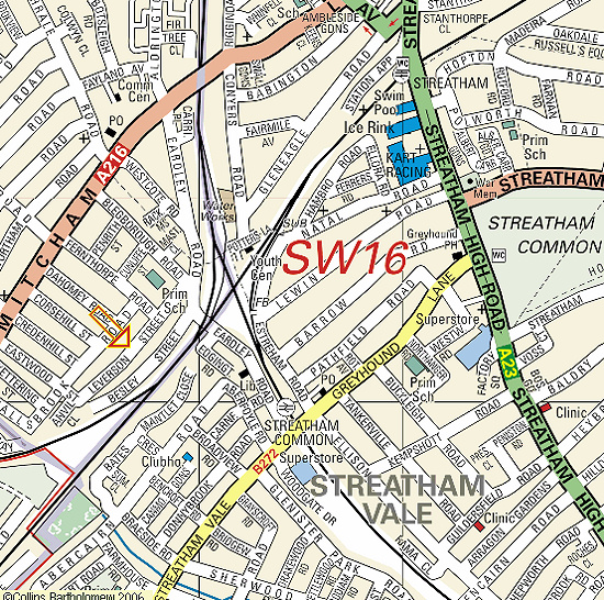
Map showing 79 Leverson
Street. Streatham, London. The Moore family
home 1920 - 1934
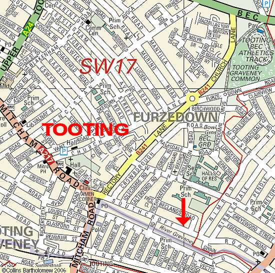
Map showing 95 Southcroft
Road. Tooting, London. The Moore family
home 1934 +
|